
Data updated: 2026-10-28 13:01:12
Allentown/Bethlehem (ABE) to Charlotte (CLT) Flights
Compare flights from Allentown/Bethlehem to Charlotte, explore popular airlines, airports, and travel tips.
Get the latest collected flight schedules, prices, and route information all in one place.
Get the latest collected flight schedules, prices, and route information all in one place.
ABE········· ·········CLT
Lehigh Valley International AirportCharlotte Douglas International Airport
- Distance
- 480 miles
- Flight time
- 1h 52m
- Time difference
- CLT is 0h ahead
Flights from Allentown/Bethlehem to Charlotte
All times are shown in local time. Prices are for one-way, per adult, including taxes and fees.
Transfers
Airlines
Airline allianceAirlines
Departure / arrival
Departure time (local time)Arrival time (local time)
Airport
Departure airports
Arrival airportsFlight route map
Route information
- Distance
- 480 miles
- Average flight time
- 1h 52m
- Time difference
- CLT is 0h ahead
- Route direction
- The initial bearing on the course from Allentown/Bethlehem to Charlotte is 220.31°, and the compass direction is SW.
Airport information
Lehigh Valley International Airport
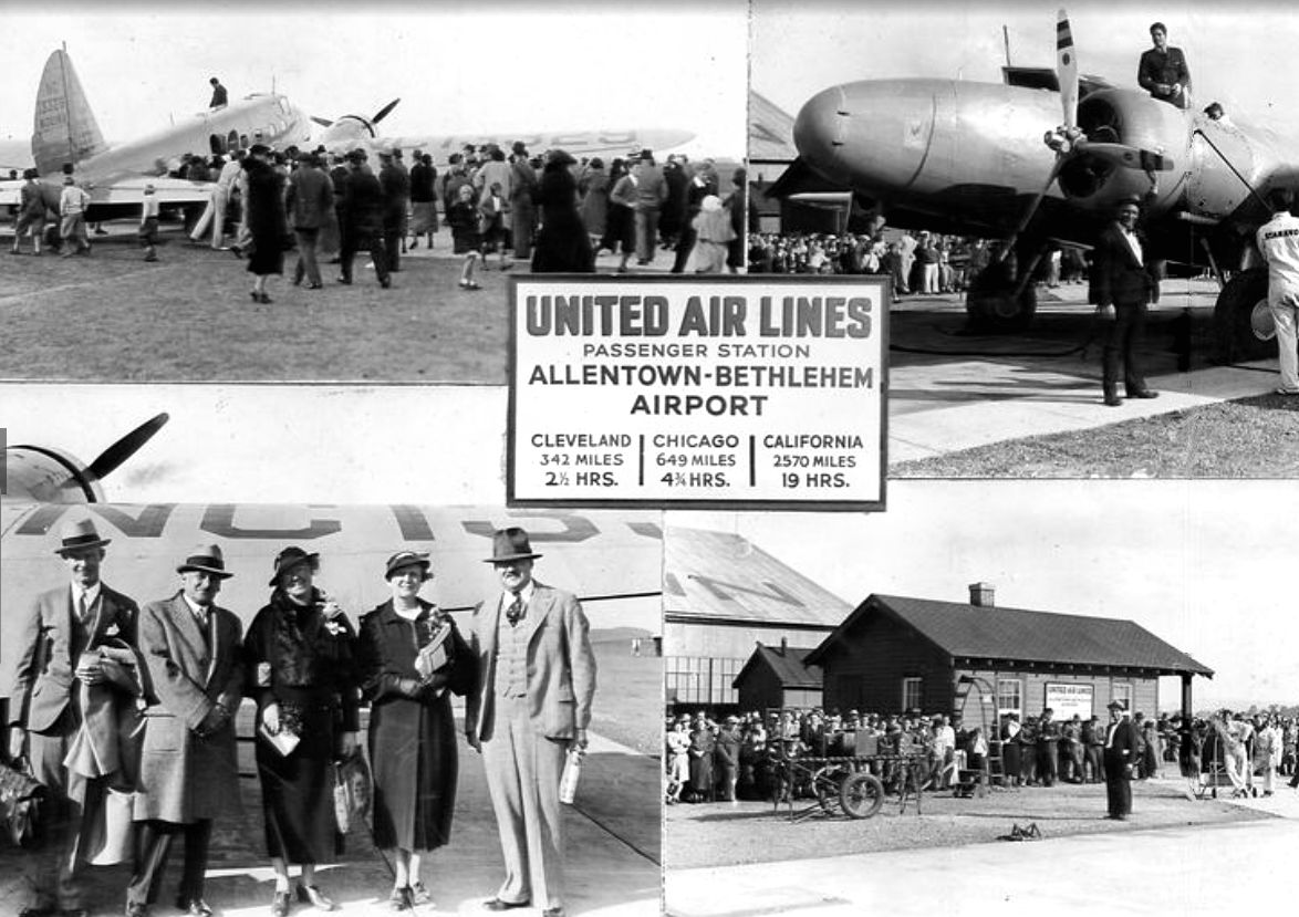
Allentown/Bethlehem, Pennsylvania, United States
40° 39' 06" N, 75° 26' 34" W
Elevation: 393 ft (120 m)
Time zone: EDT UTC−4
Charlotte Douglas International Airport
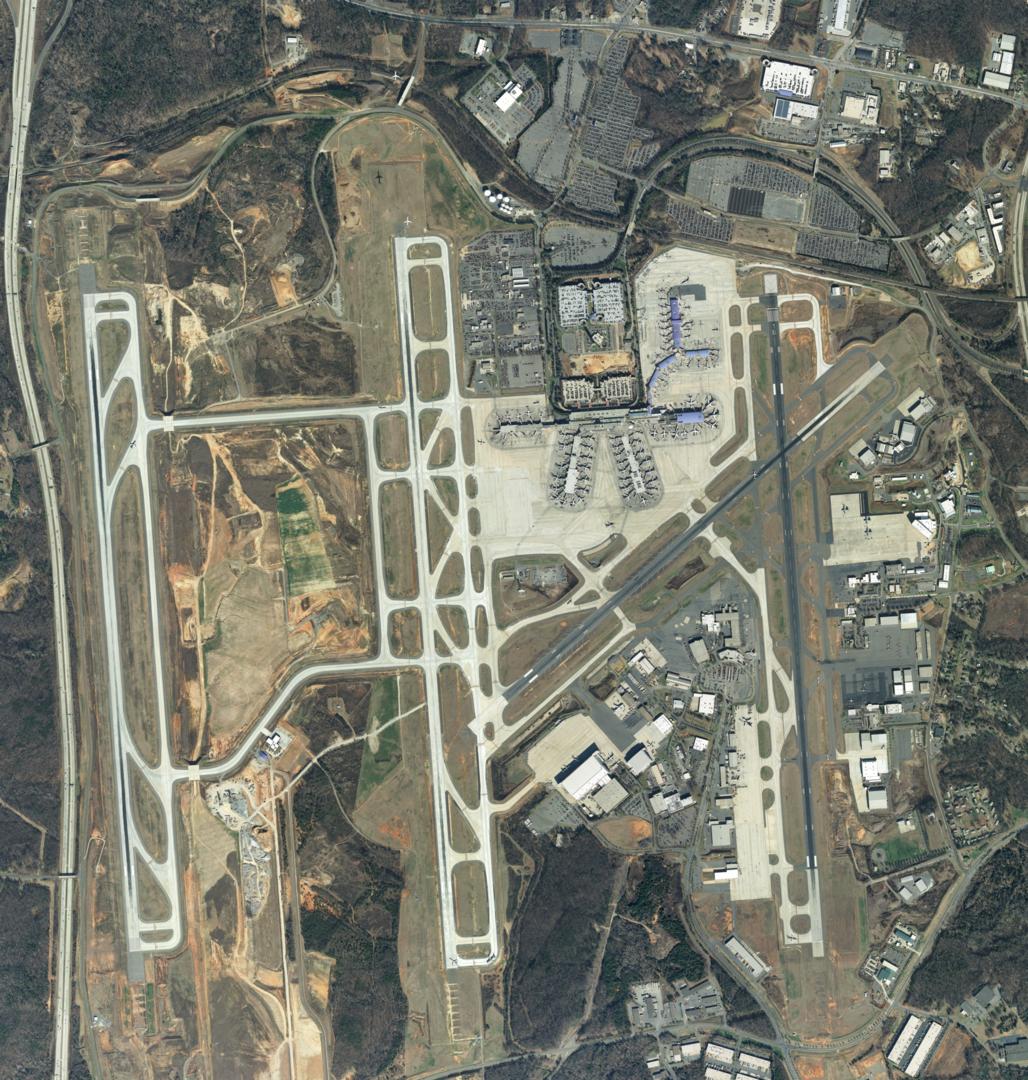
Charlotte, North Carolina, United States
35° 12' 50" N, 80° 56' 35" W
Elevation: 748 ft (228 m)
Time zone: EDT UTC−4
What's the weather like in Allentown/Bethlehem and Charlotte?
Temperature unit:
ABE · Allentown/Bethlehem
55°FMainly clearFeels like 53°F
- Humidity
- 65%
- Wind
- 1 mph
- Precipitation
- 0 mm
CLT · Charlotte
67°FMainly clearFeels like 66°F
- Humidity
- 69%
- Wind
- 9 mph
- Precipitation
- 0 mm
Wed, Oct 2871°F | 47°FOvercast
Thu, Oct 2974°F | 56°FOvercast
Fri, Oct 3080°F | 53°FOvercast
Sat, Oct 3172°F | 57°FOvercast
Sun, Nov 162°F | 54°FModerate drizzle
Popular airlines from Allentown/Bethlehem to Charlotte
Popular airports near Allentown/Bethlehem
- John F. Kennedy International Airport (JFK)New York·US· 1 hr 59 min· 87 mi (140 km)
- Rhode Island T. F. Green International Airport (PVD)Providence/Warwick·US· 5 hr 3 min· 222 mi (357 km)
- Martha's Vineyard Airport (MVY)Martha's Vineyard·US· 5 hr 51 min· 257 mi (413 km)
- Boston Logan International Airport (BOS)Boston·US· 5 hr 52 min· 258 mi (415 km)
- Manchester-Boston Regional Airport (MHT)Manchester·US· 5 hr 54 min· 260 mi (418 km)
Popular airports near Charlotte
- Concord-Padgett Regional Airport (USA)Concord·US· 24 min· 18 mi (29 km)
- Greenville-Spartanburg International Airport (GSP)Greenville/Greer/Spartanburg·US· 1 hr 43 min· 75 mi (121 km)
- Piedmont Triad International Airport (GSO)Greensboro·US· 1 hr 54 min· 83 mi (134 km)
- Columbia Metropolitan Airport (CAE)Columbia·US· 2 hr 1 min· 89 mi (143 km)
- Asheville Regional Airport (AVL)Asheville·US· 2 hr 5 min· 91 mi (147 km)
Popular hotels in CLT
Loading hotel data…
Explore Other Popular Destinations from Allentown/Bethlehem
No data
Explore Other Popular Origins to Charlotte
No data
Everything you need to know for your flight from Allentown/Bethlehem to Charlotte
No data