
Data updated: 2026-10-28 13:01:14
Abilene (ABI) to Dallas-Fort Worth (DFW) Flights
Compare flights from Abilene to Dallas-Fort Worth, explore popular airlines, airports, and travel tips.
Get the latest collected flight schedules, prices, and route information all in one place.
Get the latest collected flight schedules, prices, and route information all in one place.
ABI········· ·········DFW
Abilene Regional AirportDallas Fort Worth International Airport
- Distance
- 157 miles
- Flight time
- 1h 6m
- Time difference
- DFW is 0h ahead
Flights from Abilene to Dallas-Fort Worth
All times are shown in local time. Prices are for one-way, per adult, including taxes and fees.
Transfers
Airlines
Airline allianceAirlines
Departure / arrival
Departure time (local time)Arrival time (local time)
Airport
Departure airports
Arrival airportsFlight route map
Route information
- Distance
- 157 miles
- Average flight time
- 1h 6m
- Time difference
- DFW is 0h ahead
- Route direction
- The initial bearing on the course from Abilene to Dallas-Fort Worth is 76.99°, and the compass direction is ENE.
Airport information
Abilene Regional Airport
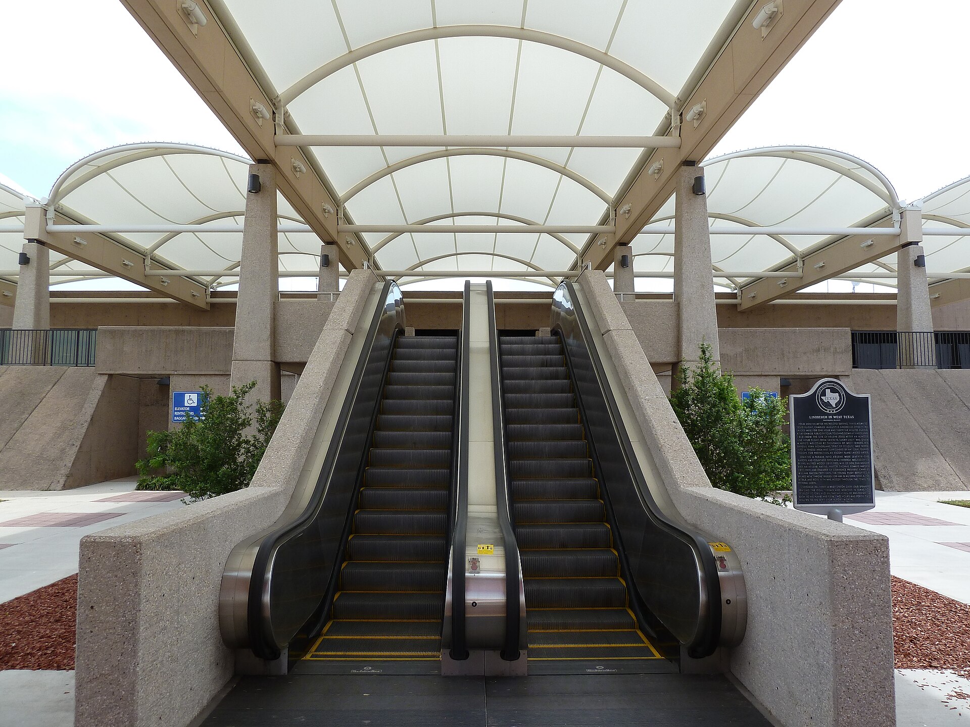
Abilene, Texas, United States
32° 24' 41" N, 99° 40' 55" W
Elevation: 1,791 ft (546 m)
Time zone: CDT UTC−5
Dallas Fort Worth International Airport
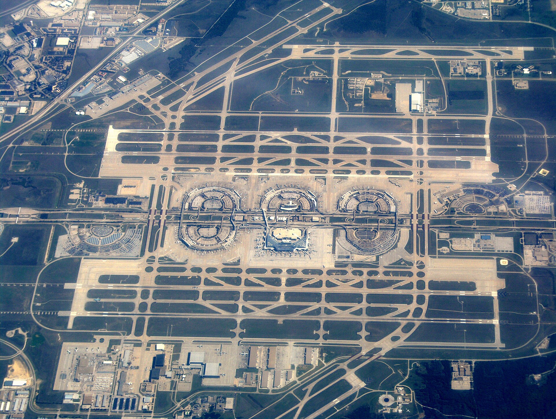
Dallas-Fort Worth, Texas, United States
32° 53' 48" N, 97° 02' 17" W
Elevation: 607 ft (185 m)
Time zone: CDT UTC−5
What's the weather like in Abilene and Dallas-Fort Worth?
Temperature unit:
ABI · Abilene
73°FSunnyFeels like 72°F
- Humidity
- 71%
- Wind
- 13 mph
- Precipitation
- 0 mm
DFW · Dallas-Fort Worth
62°FSunnyFeels like 61°F
- Humidity
- 80%
- Wind
- 4 mph
- Precipitation
- 0 mm
Wed, Oct 2881°F | 62°FOvercast
Thu, Oct 2982°F | 64°FOvercast
Fri, Oct 3071°F | 65°FDense drizzle
Sat, Oct 3175°F | 62°FModerate drizzle
Sun, Nov 182°F | 66°FLight drizzle
Popular airlines from Abilene to Dallas-Fort Worth
Popular airports near Abilene
- San Angelo Regional Mathis Field (SJT)San Angelo·US· 1 hr 59 min· 87 mi (140 km)
- Mineral Wells Regional Airport (MWL)Mineral Wells·US· 2 hr 14 min· 98 mi (157 km)
- Wichita Falls Municipal Airport / Sheppard Air Force Base (SPS)Wichita Falls·US· 2 hr 56 min· 129 mi (207 km)
- Fort Worth Meacham International Airport (FTW)Fort Worth·US· 3 hr 8 min· 138 mi (222 km)
- Killeen Regional Airport / Robert Gray Army Airfield (GRK)Fort Cavazos·US· 3 hr 15 min· 143 mi (230 km)
Popular airports near Dallas-Fort Worth
- Dallas Love Field (DAL)Dallas·US· 16 min· 12 mi (19 km)
- Fort Worth Meacham International Airport (FTW)Fort Worth·US· 27 min· 19 mi (31 km)
- Mineral Wells Regional Airport (MWL)Mineral Wells·US· 1 hr 22 min· 60 mi (96 km)
- Waco Regional Airport (ACT)Waco·US· 2 hr 2 min· 90 mi (144 km)
- Tyler Pounds Regional Airport (TYR)Tyler·US· 2 hr 20 min· 102 mi (165 km)
Popular hotels in DFW
Loading hotel data…
Explore Other Popular Destinations from Abilene
No data
Explore Other Popular Origins to Dallas-Fort Worth
No data
Everything you need to know for your flight from Abilene to Dallas-Fort Worth
No data