
Data updated: 2026-10-28 15:14:49
Newcastle upon Tyne, Tyne and Wear (NCL) to Kos Island (KGS) Flights
Compare flights from Newcastle upon Tyne, Tyne and Wear to Kos Island, explore popular airlines, airports, and travel tips.
Get the latest collected flight schedules, prices, and route information all in one place.
Get the latest collected flight schedules, prices, and route information all in one place.
NCL········· ·········KGS
Newcastle International AirportKos International Airport "Ippokratis"
- Distance
- 1,850 miles
- Flight time
- 4h 15m
- Time difference
- KGS is 2h ahead
Flights from Newcastle upon Tyne, Tyne and Wear to Kos Island
All times are shown in local time. Prices are for one-way, per adult, including taxes and fees.
Transfers
Airlines
Airline allianceAirlines
Departure / arrival
Departure time (local time)Arrival time (local time)
Airport
Departure airports
Arrival airportsFlight route map
Route information
- Distance
- 1,850 miles
- Average flight time
- 4h 15m
- Time difference
- KGS is 2h ahead
- Route direction
- The initial bearing on the course from Newcastle upon Tyne, Tyne and Wear to Kos Island is 121.04°, and the compass direction is ESE.
Airport information
Newcastle International Airport
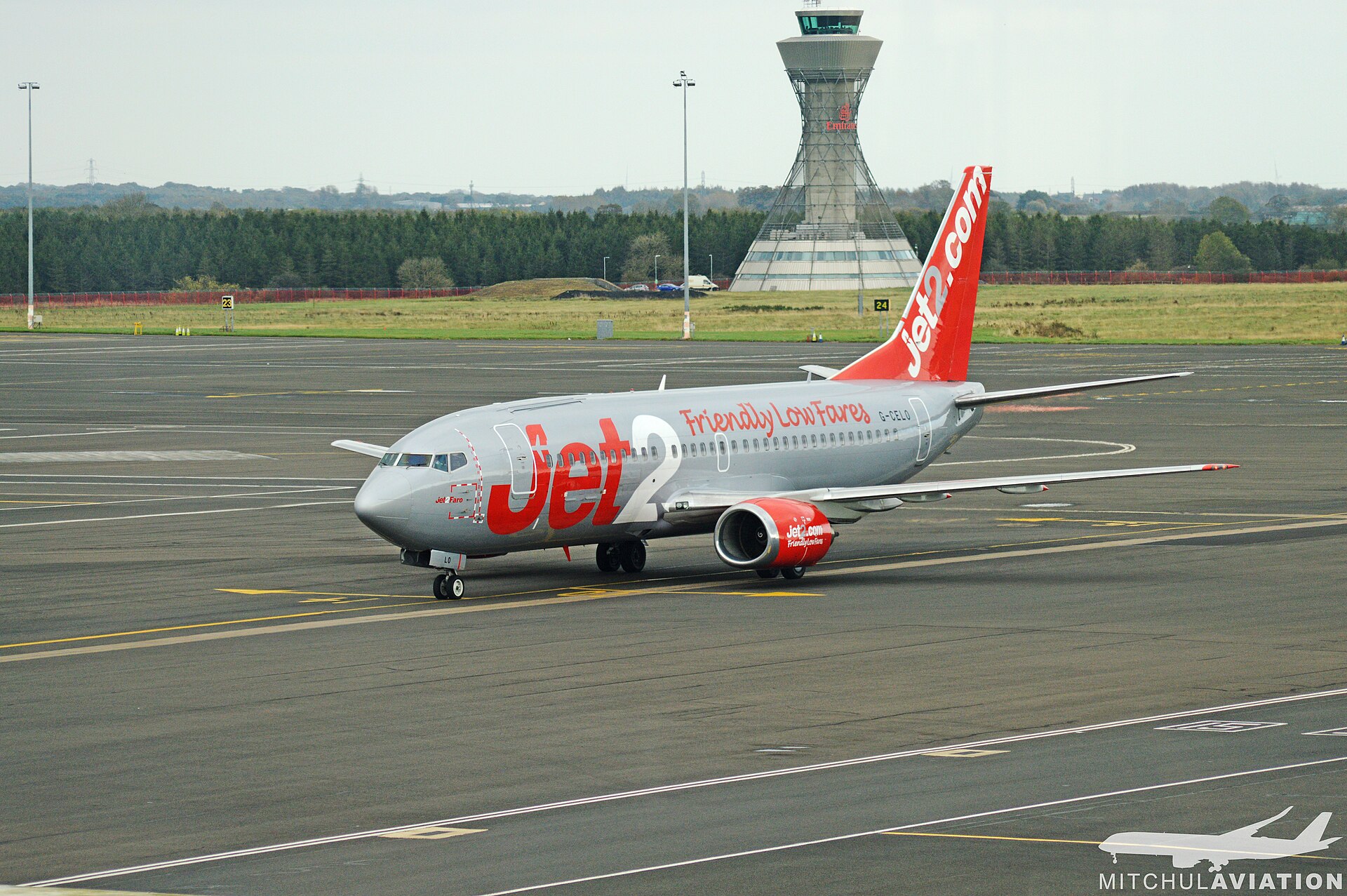
Newcastle upon Tyne, Tyne and Wear, England, United Kingdom
55° 02' 17" N, 1° 41' 22" W
Elevation: 266 ft (81 m)
Time zone: GMT UTC+0
Kos International Airport "Ippokratis"
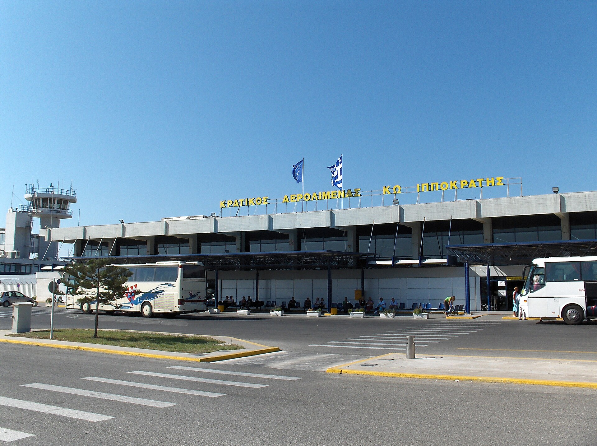
Kos Island, South Aegean, Greece
36° 47' 40" N, 27° 05' 28" E
Elevation: 412 ft (126 m)
Time zone: EET UTC+2
What's the weather like in Newcastle upon Tyne, Tyne and Wear and Kos Island?
Temperature unit:
NCL · Newcastle upon Tyne, Tyne and Wear
55°FMainly clearFeels like 51°F
- Humidity
- 80%
- Wind
- 9 mph
- Precipitation
- 0 mm
KGS · Kos Island
63°FOvercastFeels like 65°F
- Humidity
- 83%
- Wind
- 4 mph
- Precipitation
- 0 mm
Wed, Oct 2865°F | 60°FThunderstorm
Thu, Oct 2968°F | 59°FSlight rain showers
Fri, Oct 3069°F | 64°FOvercast
Sat, Oct 3169°F | 64°FOvercast
Sun, Nov 166°F | 64°FThunderstorm
Popular airlines from Newcastle upon Tyne, Tyne and Wear to Kos Island
Popular airports near Newcastle upon Tyne, Tyne and Wear
- Dublin Airport (DUB)Dublin·IE· 215 mi (347 km)
- London Heathrow Airport (LHR)London·GB· 5 hr 44 min· 252 mi (405 km)
- London Gatwick Airport (LGW)London·GB· 6 hr 17 min· 276 mi (444 km)
- Teesside International Airport (MME)Darlington, Durham·GB· 52 min· 38 mi (61 km)
- Leeds Bradford Airport (LBA)Leeds, West Yorkshire·GB· 1 hr 51 min· 81 mi (130 km)
Popular airports near Kos Island
- Athens Eleftherios Venizelos International Airport (ATH)Spata-Artemida·GR· 4 hr 19 min· 190 mi (306 km)
- Kalymnos Airport (JKL)Kalymnos Island·GR· 20 min· 14 mi (23 km)
- Leros Airport (LRS)Leros Island·GR· 43 min· 31 mi (51 km)
- Astypalaia Airport (JTY)Astypalaia Island·GR· 58 min· 42 mi (68 km)
- Milas Bodrum International Airport (BJV)Bodrum·TR· 45 mi (72 km)
Popular hotels in KGS
Loading hotel data…
Explore Other Popular Destinations from Newcastle upon Tyne, Tyne and Wear
No data
Explore Other Popular Origins to Kos Island
No data
Everything you need to know for your flight from Newcastle upon Tyne, Tyne and Wear to Kos Island
No data