
Data updated: 2026-10-28 17:23:05
Nantes (NTE) to Colombier-Saugnieu, Rhône (LYS) Flights
Compare flights from Nantes to Colombier-Saugnieu, Rhône, explore popular airlines, airports, and travel tips.
Get the latest collected flight schedules, prices, and route information all in one place.
Get the latest collected flight schedules, prices, and route information all in one place.
NTE········· ·········LYS
Nantes Atlantique AirportLyon Saint-Exupéry Airport
- Distance
- 334 miles
- Flight time
- 1h 15m
- Time difference
- LYS is 0h ahead
Flights from Nantes to Colombier-Saugnieu, Rhône
All times are shown in local time. Prices are for one-way, per adult, including taxes and fees.
Transfers
Airlines
Airline allianceAirlines
Departure / arrival
Departure time (local time)Arrival time (local time)
Airport
Departure airports
Arrival airportsFlight route map
Route information
- Distance
- 334 miles
- Average flight time
- 1h 15m
- Time difference
- LYS is 0h ahead
- Route direction
- The initial bearing on the course from Nantes to Colombier-Saugnieu, Rhône is 104.73°, and the compass direction is ESE.
Airport information
Nantes Atlantique Airport

Nantes, Pays-de-la-Loire, France
47° 09' 12" N, 1° 36' 39" W
Elevation: 90 ft (27 m)
Time zone: CET UTC+1
Lyon Saint-Exupéry Airport
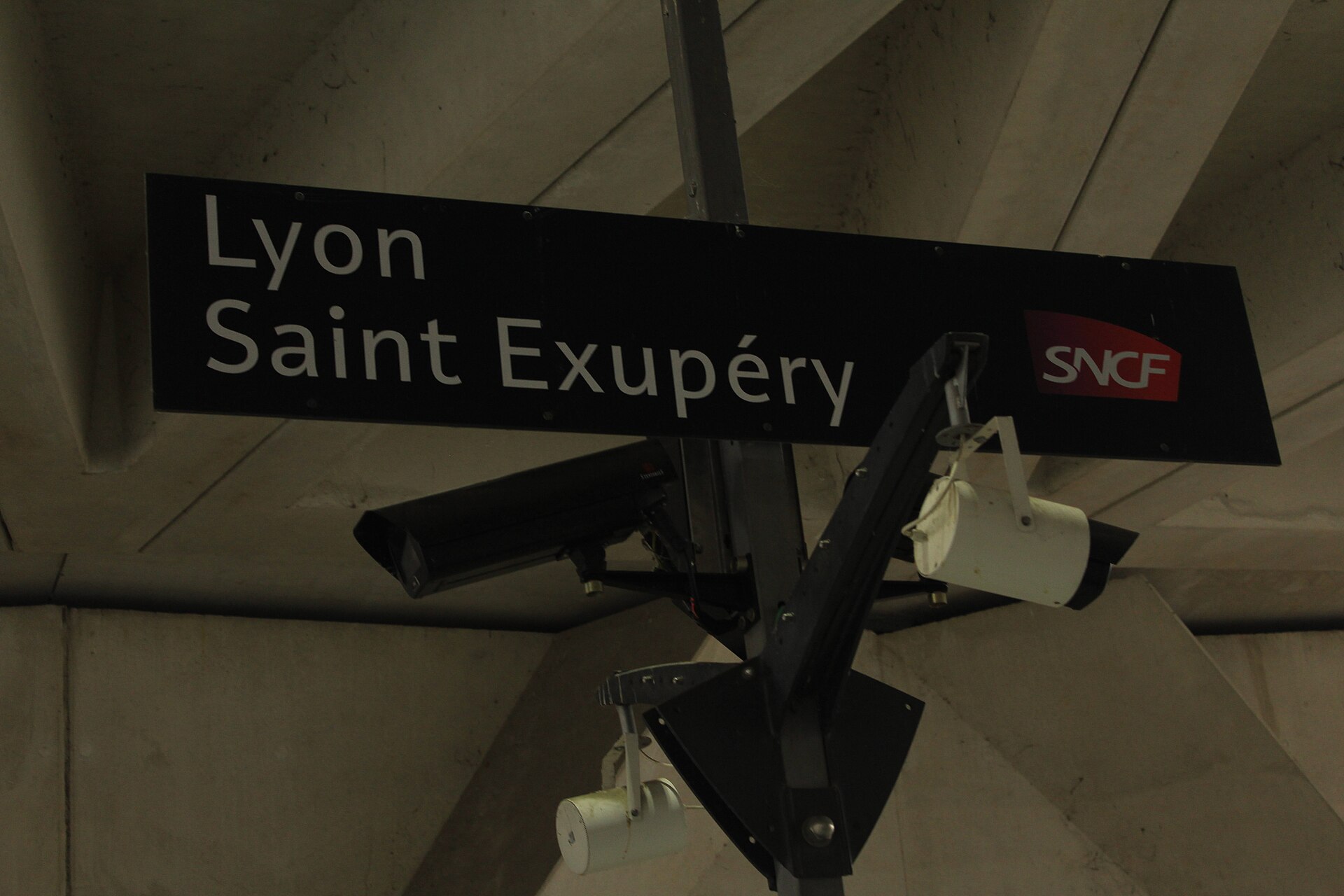
Colombier-Saugnieu, Rhône, Auvergne-Rhône-Alpes, France
45° 43' 34" N, 5° 05' 25" E
Elevation: 821 ft (250 m)
Time zone: CET UTC+1
What's the weather like in Nantes and Colombier-Saugnieu, Rhône?
Temperature unit:
NTE · Nantes
59°FOvercastFeels like 55°F
- Humidity
- 56%
- Wind
- 5 mph
- Precipitation
- 0 mm
LYS · Colombier-Saugnieu, Rhône
56°FMainly clearFeels like 48°F
- Humidity
- 59%
- Wind
- 13 mph
- Precipitation
- 0 mm
Wed, Oct 2859°F | 44°FSlight rain showers
Thu, Oct 2954°F | 41°FLight drizzle
Fri, Oct 3052°F | 38°FFog
Sat, Oct 3151°F | 40°FFog
Sun, Nov 152°F | 40°FOvercast
Popular airlines from Nantes to Colombier-Saugnieu, Rhône
Popular airports near Nantes
- Charles de Gaulle International Airport (CDG)Paris·FR· 5 hr 15 min· 231 mi (372 km)
- London Gatwick Airport (LGW)London·GB· 283 mi (456 km)
- London Heathrow Airport (LHR)London·GB· 303 mi (487 km)
- Saint-Nazaire-Montoir Airport (SNR)Saint-Nazaire/Montoir·FR· 38 min· 28 mi (45 km)
- Île d'Yeu Airport (IDY)Île d'Yeu·FR· 1 hr 5 min· 48 mi (77 km)
Popular airports near Colombier-Saugnieu, Rhône
- Milan Malpensa International Airport (MXP)Ferno·IT· 4 hr· 176 mi (283 km)
- Milano Linate Airport (LIN)Segrate·IT· 4 hr 38 min· 203 mi (327 km)
- Zürich Airport (ZRH)Zurich·CH· 4 hr 37 min· 203 mi (327 km)
- Charles de Gaulle International Airport (CDG)Paris·FR· 5 hr 49 min· 256 mi (412 km)
- Grenoble Alpes Isère Airport (GNB)Grenoble·FR· 38 min· 28 mi (44 km)
Popular hotels in LYS
Loading hotel data…
Explore Other Popular Destinations from Nantes
No data
Explore Other Popular Origins to Colombier-Saugnieu, Rhône
No data
Everything you need to know for your flight from Nantes to Colombier-Saugnieu, Rhône
No data