
Data updated: 2026-10-28 13:22:11
San Diego (SAN) to Boston (BOS) Flights
Compare flights from San Diego to Boston, explore popular airlines, airports, and travel tips.
Get the latest collected flight schedules, prices, and route information all in one place.
Get the latest collected flight schedules, prices, and route information all in one place.
SAN········· ·········BOS
San Diego International AirportBoston Logan International Airport
- Distance
- 2,587 miles
- Flight time
- 5h 39m
- Time difference
- BOS is 3h ahead
Flights from San Diego to Boston
All times are shown in local time. Prices are for one-way, per adult, including taxes and fees.
Transfers
Airlines
Airline allianceAirlines
Departure / arrival
Departure time (local time)Arrival time (local time)
Airport
Departure airports
Arrival airportsFlight route map
Route information
- Distance
- 2,587 miles
- Average flight time
- 5h 39m
- Time difference
- BOS is 3h ahead
- Route direction
- The initial bearing on the course from San Diego to Boston is 61.44°, and the compass direction is ENE.
Airport information
San Diego International Airport
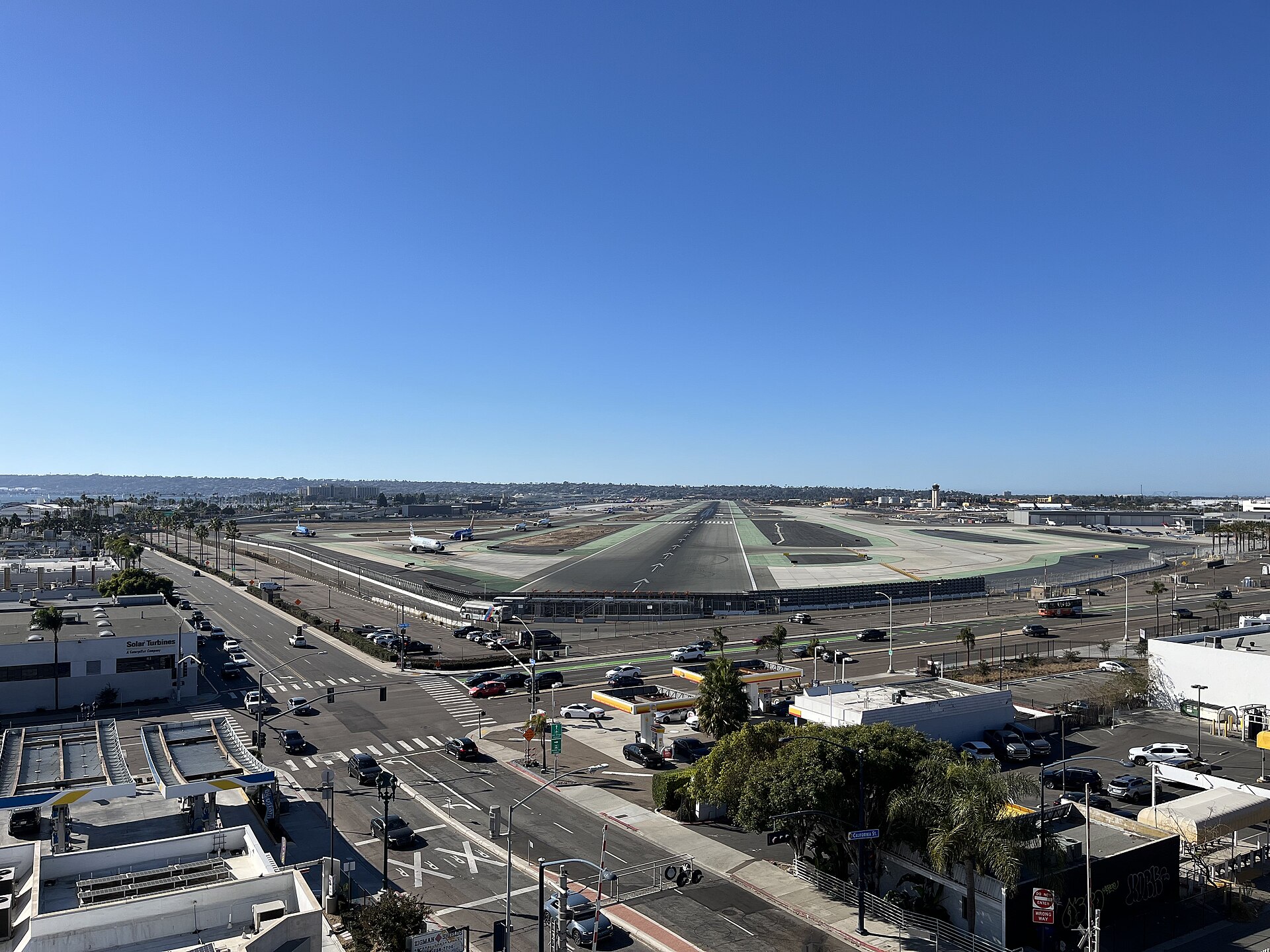
San Diego, California, United States
32° 44' 01" N, 117° 11' 24" W
Elevation: 17 ft (5 m)
Time zone: PDT UTC−7
Boston Logan International Airport
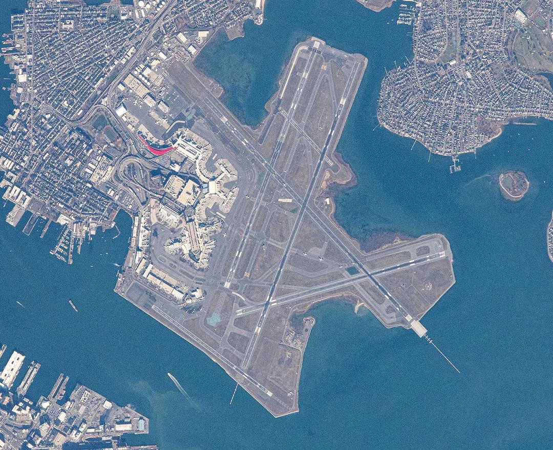
Boston, Massachusetts, United States
42° 21' 43" N, 71° 00' 28" W
Elevation: 20 ft (6 m)
Time zone: EDT UTC−4
What's the weather like in San Diego and Boston?
Temperature unit:
SAN · San Diego
67°FPartly cloudyFeels like 69°F
- Humidity
- 77%
- Wind
- 3 mph
- Precipitation
- 0 mm
BOS · Boston
48°FOvercastFeels like 44°F
- Humidity
- 66%
- Wind
- 3 mph
- Precipitation
- 0 mm
Wed, Oct 2851°F | 33°FOvercast
Thu, Oct 2966°F | 43°FSunny
Fri, Oct 3066°F | 49°FOvercast
Sat, Oct 3154°F | 44°FOvercast
Sun, Nov 160°F | 44°FOvercast
Popular airlines from San Diego to Boston
Popular airports near San Diego
- General Abelardo L. Rodriguez International Airport (TIJ)Tijuana·MX· 25 min· 18 mi (30 km)
- McClellan-Palomar Airport (CLD)Carlsbad·US· 38 min· 28 mi (45 km)
- Ensenada International Airport / El Ciprés Air Base (ESE)Ensenada·MX· 1 hr 40 min· 73 mi (118 km)
- John Wayne Orange County International Airport (SNA)Santa Ana·US· 1 hr 44 min· 76 mi (122 km)
- Palm Springs International Airport (PSP)Palm Springs·US· 1 hr 57 min· 85 mi (137 km)
Popular airports near Boston
- Manchester-Boston Regional Airport (MHT)Manchester·US· 1 hr 1 min· 45 mi (72 km)
- Provincetown Municipal Airport (PVC)Provincetown·US· 1 hr 1 min· 45 mi (72 km)
- Rhode Island T. F. Green International Airport (PVD)Providence/Warwick·US· 1 hr 7 min· 49 mi (79 km)
- Martha's Vineyard Airport (MVY)Martha's Vineyard·US· 1 hr 35 min· 70 mi (113 km)
- John F. Kennedy International Airport (JFK)New York·US· 4 hr 14 min· 186 mi (300 km)
Popular hotels in BOS
Loading hotel data…
Explore Other Popular Destinations from San Diego
No data
Explore Other Popular Origins to Boston
No data
Everything you need to know for your flight from San Diego to Boston
No data