
Washington (DCA) to Knoxville/Maryville (TYS) Flights
Get the latest collected flight schedules, prices, and route information all in one place.
- Distance
- 436 miles
- Flight time
- 1h 48m
- Time difference
- TYS is 0h ahead
Flights from Washington to Knoxville/Maryville
All times are shown in local time. Prices are for one-way, per adult, including taxes and fees.
Transfers
Airlines
Departure / arrival
Airport
Flight route map
Route information
- Distance
- 436 miles
- Average flight time
- 1h 48m
- Time difference
- TYS is 0h ahead
- Route direction
- The initial bearing on the course from Washington to Knoxville/Maryville is 243.34°, and the compass direction is WSW.
Airport information
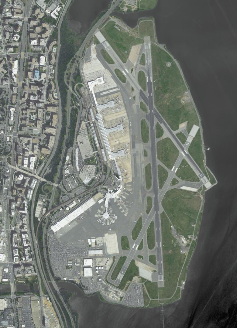
Ronald Reagan Washington National Airport
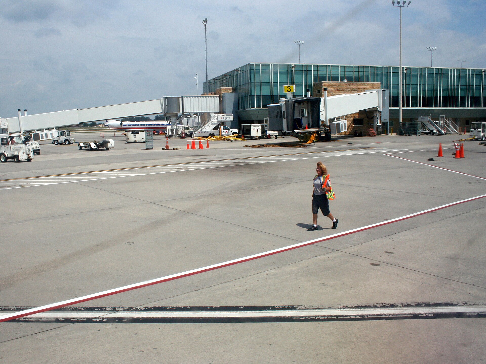
McGhee Tyson Airport
What's the weather like in Washington and Knoxville/Maryville?
DCA · Washington
- Humidity
- 67%
- Wind
- 3 mph
- Precipitation
- 0 mm
TYS · Knoxville/Maryville
- Humidity
- 70%
- Wind
- 4 mph
- Precipitation
- 0 mm
Popular airlines from Washington to Knoxville/Maryville
Popular airports near Washington
- John F. Kennedy International Airport (JFK)New York·US· 4 hr 50 min· 213 mi (342 km)
- Washington Dulles International Airport (IAD)Dulles·US· 32 min· 23 mi (38 km)
- Baltimore/Washington International Thurgood Marshall Airport (BWI)Baltimore·US· 41 min· 30 mi (48 km)
- Hagerstown Regional Richard A Henson Field (HGR)Hagerstown·US· 1 hr 35 min· 70 mi (112 km)
- Salisbury Ocean City Wicomico Regional Airport (SBY)Salisbury·US· 2 hr 2 min· 90 mi (144 km)
Popular airports near Knoxville/Maryville
- Asheville Regional Airport (AVL)Asheville·US· 1 hr 57 min· 86 mi (138 km)
- Chattanooga Metropolitan Airport (Lovell Field) (CHA)Chattanooga·US· 1 hr 58 min· 87 mi (139 km)
- Tri-Cities Regional TN/VA Airport (TRI)Blountville·US· 2 hr 16 min· 100 mi (160 km)
- Greenville-Spartanburg International Airport (GSP)Greenville/Greer/Spartanburg·US· 2 hr 42 min· 118 mi (190 km)
- DeKalb Peachtree Airport (PDK)Atlanta·US· 3 hr 4 min· 135 mi (217 km)
Popular hotels in TYS
Everything you need to know for your flight from Washington to Knoxville/Maryville
Which departure days are usually cheaper?
If you have flexibility with your travel dates, Tuesday and Wednesday departures are consistently your best bet for finding the lowest airfares. Across global flight routes, flying midweek can easily save you 10% to 20% compared to weekend departures, mainly because you avoid both Monday business trips and Friday weekend getaways. On the flip side, Fridays and Sundays tend to be the most expensive days of the week as leisure travelers head out and return. Another insider tip: opting for early morning flights (before 7:00 AM) or overnight red-eyes often unlocks additional savings while helping you breeze through airport security lines.
How far in advance do fares usually reach their lowest point?
There is no fixed booking window that guarantees the lowest fare for United States to United States (US-US). Once your plans are clearer, compare prices for your intended dates and nearby alternatives, using the same cabin, baggage and change conditions. Choose a fare that fits your budget and flexibility; waiting can result in either lower prices or fewer suitable options.
Which travel month has the lowest reference fare, and by how much?
In average round-trip fares grouped by travel month over the past 12 months, Jan is lowest at USD 269. Compared with the selected date's calendar month average of USD 324, the difference is USD 55. This is not a quote for a specific date or nonstop flight.
Should I book now or wait for a lower fare?
If you can change departure dates, the price calendar shows a reference fare of USD 93 on 2026-11-23, USD 306 below the selected date. Prices for different departure dates cannot predict whether the same flight will get cheaper later; check the latest price and availability before booking.
How much could changing the departure date by a few days save?
Among available departure dates within three days of the selected date, the same-currency reference nonstop fare of USD 399 on 2026-11-03 is tied for the lowest. Fares on different dates may not be for the same cabin or fare product; check the latest price and availability before booking.
How much time should I allow to reach Ronald Reagan Washington National Airport before departure?
For departure from Ronald Reagan Washington National Airport (DCA), follow the operating airline’s recommended arrival time and its check-in, bag-drop and boarding deadlines. Allow additional time for the journey to the airport, security, baggage and any assistance you need. Confirm these arrangements before travel; a check-in cutoff is not a recommended airport arrival time.
Which airlines can I consider for this route in the next seven days?
Nonstop flight information includes: American: about 20 flights. Schedules and availability may change; check the latest results before booking.
How long does this route usually take?
The route reference duration is about 1 hours 48 minutes; check the selected flight for its scheduled duration.
What are the earliest and latest nonstop departures on the selected date?
The earliest nonstop flight departs at 09:00 and the latest at 19:49 (origin local time).
How many nonstop flights are there on the selected date?
About 3 nonstop flights are listed for the selected date. Schedules and availability may change; check the latest results before booking.
What is the fastest way to get from McGhee Tyson Airport to downtown Knoxville/Maryville?
Official licensed airport taxis and verified mobile ride-hailing services provide the fastest, most convenient door-to-door transit into downtown Knoxville/Maryville, typically taking 20 to 35 minutes depending on traffic. Scheduled airport express shuttle buses also depart regularly from right outside the arrivals hall, offering an economical direct link to central transit hubs.
Is public transportation practical if my flight arrives late at night at McGhee Tyson Airport?
Regular public buses and scheduled shuttles at McGhee Tyson Airport usually wind down by 23:00 or midnight. Fortunately, official airport taxis and licensed app-based ride-hailing services meet incoming flights late into the night 24/7. If your arrival is scheduled past midnight, booking a pre-arranged airport transfer or reserving a rental car for airport counter pickup will give you complete peace of mind.
Is renting a car worth it at McGhee Tyson Airport?
Whether renting a car at McGhee Tyson Airport (TYS) is worthwhile depends on your destination and travel plans. Compare available public transport, transfers and rental options for the complete trip, including any additional costs. Before reserving a car, confirm the pickup location and opening hours, driver requirements and rental terms.
Which airport is more convenient for my destination: McGhee Tyson Airport or other airports in Knoxville/Maryville?
McGhee Tyson Airport (TYS) may be convenient depending on your destination address and flight options. If other airports serve the area, compare the total journey time and cost, available flights and arrival times. The closest airport is not necessarily the most convenient, and alternative airports should be checked for your actual travel dates.
Do children need identification or their own travel authorization?
Children’s travel documents depend on their age, nationality and itinerary. Check the operating airline’s proof-of-age and unaccompanied-minor requirements. For international travel, also confirm the child’s passport, visa or authorization requirements and whether parental consent or relationship documents are needed. An accompanying adult’s documents do not establish the child’s eligibility to travel.
What ID, passport, visa or travel authorization do I need?
The documents needed for United States to United States (US-US) depend on your nationality, residence status, age, travel purpose and any transit points. Before booking and departure, check the destination and transit authorities’ current requirements and the operating airline’s accepted documents. Confirm whether identification, a passport, a visa or an electronic travel authorization is needed, including any validity conditions.
How do I request wheelchair or accessibility assistance?
Request wheelchair or accessibility assistance from the operating airline when booking or as early as possible. Describe the support you need and, if travelling with a mobility device, provide its dimensions, weight and battery details where relevant. Confirm the available service, any advance-notice requirements and the meeting point, including arrangements for connections.
What are my options if the airline cancels or significantly delays my flight?
For United States to United States (US-US), contact the operating airline or booking provider if your flight is cancelled or significantly delayed. Ask about rebooking, refund options and any available assistance. Eligibility depends on the itinerary, operating airline, applicable rules and the reason for the disruption. Keep your booking details, notifications and receipts for any follow-up request.