
Data updated: 2026-10-28 11:54:40
Charlestown (NEV) to Christiansted (STX) Flights
Compare flights from Charlestown to Christiansted, explore popular airlines, airports, and travel tips.
Get the latest collected flight schedules, prices, and route information all in one place.
Get the latest collected flight schedules, prices, and route information all in one place.
NEV········· ·········STX
Vance W. Amory International AirportHenry E. Rohlsen Airport
- Distance
- 149 miles
- Flight time
- 1h 7m
- Time difference
- STX is 0h ahead
Flights from Charlestown to Christiansted
All times are shown in local time. Prices are for one-way, per adult, including taxes and fees.
Transfers
Airlines
Airline allianceAirlines
Departure / arrival
Departure time (local time)Arrival time (local time)
Airport
Departure airports
Arrival airportsFlight route map
Route information
- Distance
- 149 miles
- Average flight time
- 1h 7m
- Time difference
- STX is 0h ahead
- Route direction
- The initial bearing on the course from Charlestown to Christiansted is 283.55°, and the compass direction is WNW.
Airport information
Vance W. Amory International Airport
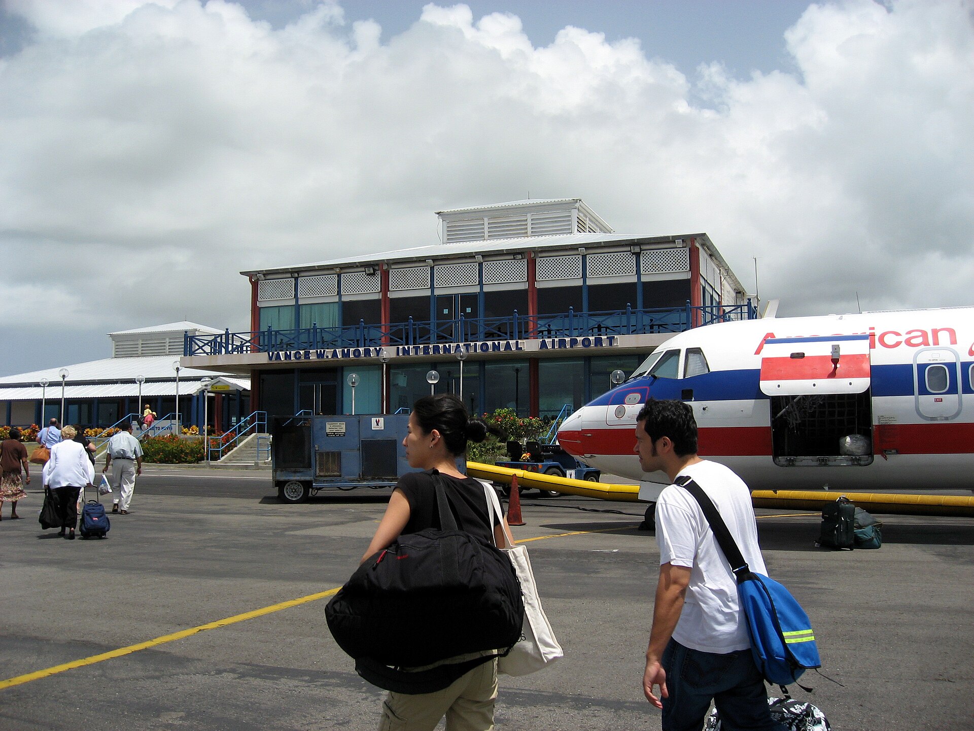
Charlestown, (unassigned), Saint Kitts and Nevis
17° 12' 21" N, 62° 35' 24" W
Elevation: 14 ft (4 m)
Time zone: AST UTC−4
Henry E. Rohlsen Airport

Christiansted, Saint Croix, U.S. Virgin Islands
17° 42' 05" N, 64° 48' 09" W
Elevation: 74 ft (23 m)
Time zone: AST UTC−4
What's the weather like in Charlestown and Christiansted?
Temperature unit:
NEV · Charlestown
85°FLight drizzleFeels like 93°F
- Humidity
- 69%
- Wind
- 11 mph
- Precipitation
- 0.1 mm
STX · Christiansted
89°FLight drizzleFeels like 94°F
- Humidity
- 56%
- Wind
- 12 mph
- Precipitation
- 0.1 mm
Wed, Oct 2889°F | 80°FModerate drizzle
Thu, Oct 2989°F | 82°FLight drizzle
Fri, Oct 3090°F | 80°FModerate drizzle
Sat, Oct 3189°F | 75°FModerate rain showers
Sun, Nov 187°F | 78°FModerate drizzle
Popular airlines from Charlestown to Christiansted
Popular airports near Charlestown
- Robert L. Bradshaw International Airport (SKB)Basseterre·KN· 15 min· 11 mi (18 km)
- F. D. Roosevelt Airport (EUX)Oranjestad·BQ· 33 mi (52 km)
- John A. Osborne Airport (MNI)Gerald's Park·MS· 39 mi (62 km)
- St. Jean Airport (SBH)Gustavia·BL· 51 mi (82 km)
- Juancho E. Yrausquin Airport (SAB)Zion's Hill·BQ· 51 mi (83 km)
Popular airports near Christiansted
- Cyril E. King Airport (STT)Charlotte Amalie·VI· 1 hr 2 min· 45 mi (73 km)
- Benjamin Rivera Noriega Airport (CPX)Culebra·PR· 54 mi (86 km)
- Terrance B. Lettsome International Airport (EIS)Beef Island·VG· 54 mi (87 km)
- Antonio Rivera Rodriguez Airport (VQS)Vieques·PR· 54 mi (88 km)
- Virgin Gorda Airport (VIJ)Spanish Town·VG· 57 mi (92 km)
Popular hotels in STX
Loading hotel data…
Explore Other Popular Destinations from Charlestown
No data
Explore Other Popular Origins to Christiansted
Everything you need to know for your flight from Charlestown to Christiansted
No data