
Data updated: 2026-10-28 13:18:07
Ceiba (NRR) to Culebra (CPX) Flights
Compare flights from Ceiba to Culebra, explore popular airlines, airports, and travel tips.
Get the latest collected flight schedules, prices, and route information all in one place.
Get the latest collected flight schedules, prices, and route information all in one place.
NRR········· ·········CPX
José Aponte de la Torre AirportBenjamin Rivera Noriega Airport
- Distance
- 22 miles
- Flight time
- 15m
- Time difference
- CPX is 0h ahead
Flights from Ceiba to Culebra
All times are shown in local time. Prices are for one-way, per adult, including taxes and fees.
Transfers
Airlines
Airline allianceAirlines
Departure / arrival
Departure time (local time)Arrival time (local time)
Airport
Departure airports
Arrival airportsFlight route map
Route information
- Distance
- 22 miles
- Average flight time
- 15m
- Time difference
- CPX is 0h ahead
- Route direction
- The initial bearing on the course from Ceiba to Culebra is 78.31°, and the compass direction is ENE.
Airport information
José Aponte de la Torre Airport
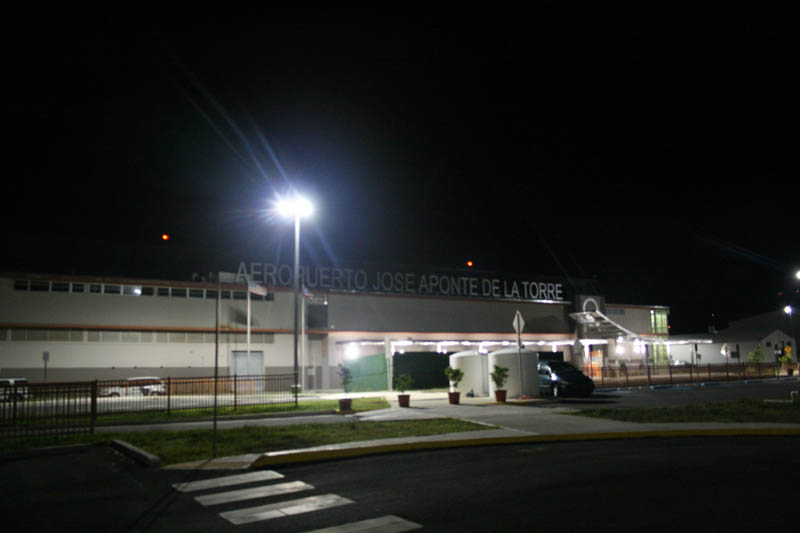
Ceiba, (unassigned), Puerto Rico
18° 14' 50" N, 65° 38' 23" W
Elevation: 38 ft (12 m)
Time zone: AST UTC−4
Benjamin Rivera Noriega Airport
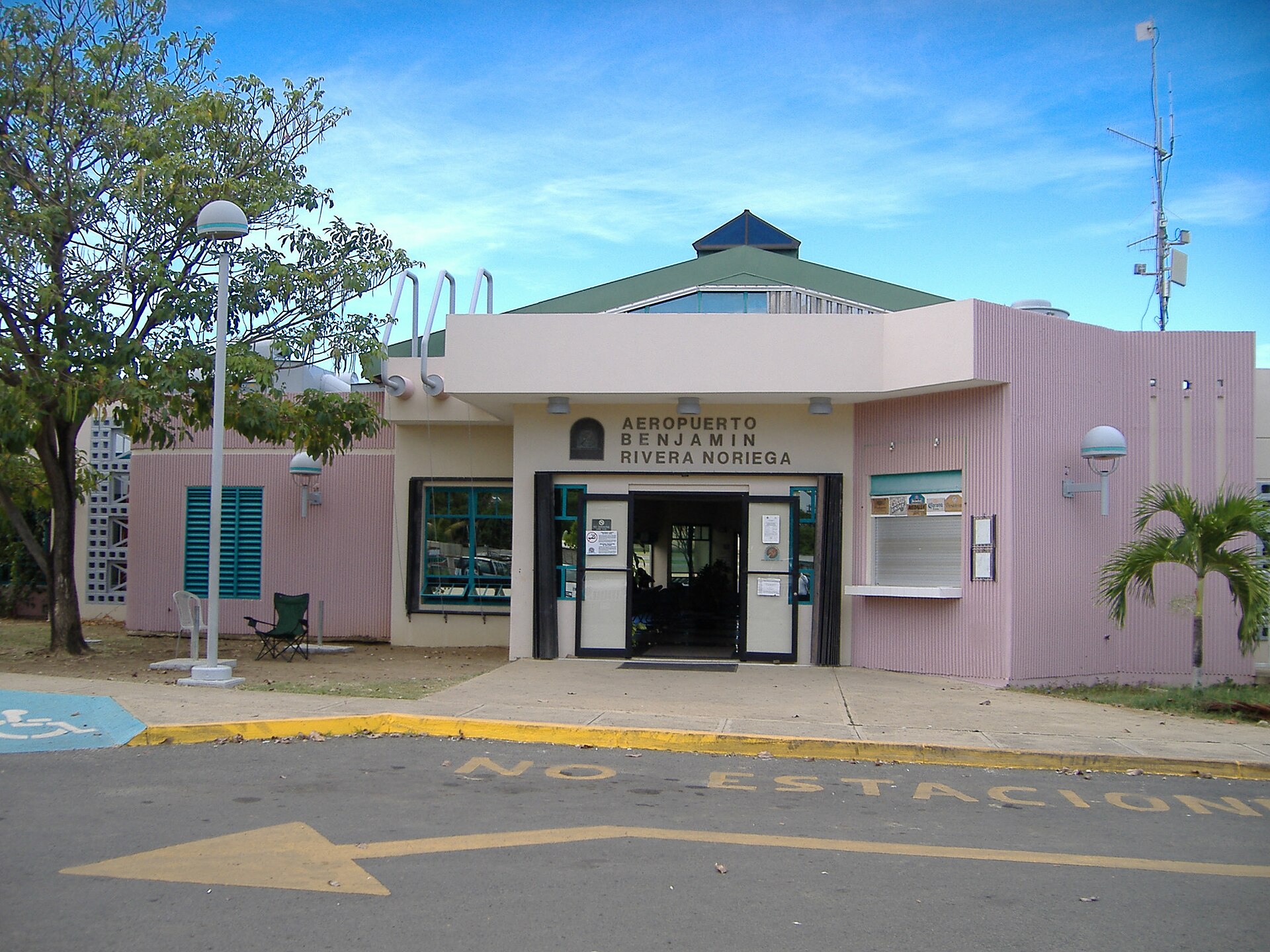
Culebra, (unassigned), Puerto Rico
18° 18' 47" N, 65° 18' 14" W
Elevation: 49 ft (15 m)
Time zone: AST UTC−4
What's the weather like in Ceiba and Culebra?
Temperature unit:
NRR · Ceiba
85°FMainly clearFeels like 93°F
- Humidity
- 67%
- Wind
- 8 mph
- Precipitation
- 0 mm
CPX · Culebra
85°FPartly cloudyFeels like 90°F
- Humidity
- 70%
- Wind
- 15 mph
- Precipitation
- 0 mm
Wed, Oct 2885°F | 78°FModerate drizzle
Thu, Oct 2984°F | 83°FDense drizzle
Fri, Oct 3085°F | 82°FModerate drizzle
Sat, Oct 3184°F | 77°FThunderstorm
Sun, Nov 184°F | 80°FThunderstorm
Popular airlines from Ceiba to Culebra
Popular airports near Ceiba
- Antonio Rivera Rodriguez Airport (VQS)Vieques·PR· 17 min· 12 mi (20 km)
- Benjamin Rivera Noriega Airport (CPX)Culebra·PR· 31 min· 22 mi (36 km)
- Luis Munoz Marin International Airport (SJU)San Juan·PR· 37 min· 27 mi (44 km)
- Fernando Luis Ribas Dominicci Airport (SIG)San Juan·PR· 46 min· 33 mi (54 km)
- Cyril E. King Airport (STT)Charlotte Amalie·VI· 44 mi (71 km)
Popular airports near Culebra
- Antonio Rivera Rodriguez Airport (VQS)Vieques·PR· 24 min· 18 mi (28 km)
- Cyril E. King Airport (STT)Charlotte Amalie·VI· 21 mi (35 km)
- José Aponte de la Torre Airport (NRR)Ceiba·PR· 31 min· 22 mi (36 km)
- Luis Munoz Marin International Airport (SJU)San Juan·PR· 1 hr 4 min· 47 mi (75 km)
- Terrance B. Lettsome International Airport (EIS)Beef Island·VG· 51 mi (82 km)
Popular hotels in CPX
Loading hotel data…
Explore Other Popular Destinations from Ceiba
Explore Other Popular Origins to Culebra
No data
Everything you need to know for your flight from Ceiba to Culebra
No data