
Data updated: 2026-10-28 13:18:08
Narita (NRT) to Honolulu, Oahu (HNL) Flights
Compare flights from Narita to Honolulu, Oahu, explore popular airlines, airports, and travel tips.
Get the latest collected flight schedules, prices, and route information all in one place.
Get the latest collected flight schedules, prices, and route information all in one place.
NRT········· ·········HNL
Narita International AirportDaniel K. Inouye International Airport
- Distance
- 3,818 miles
- Flight time
- 7h 20m
- Time difference
- HNL is 19h behind
Flights from Narita to Honolulu, Oahu
All times are shown in local time. Prices are for one-way, per adult, including taxes and fees.
Transfers
Airlines
Airline allianceAirlines
Departure / arrival
Departure time (local time)Arrival time (local time)
Airport
Departure airports
Arrival airportsFlight route map
Route information
- Distance
- 3,818 miles
- Average flight time
- 7h 20m
- Time difference
- HNL is 19h behind
- Route direction
- The initial bearing on the course from Narita to Honolulu, Oahu is 87.44°, and the compass direction is E.
Airport information
Narita International Airport
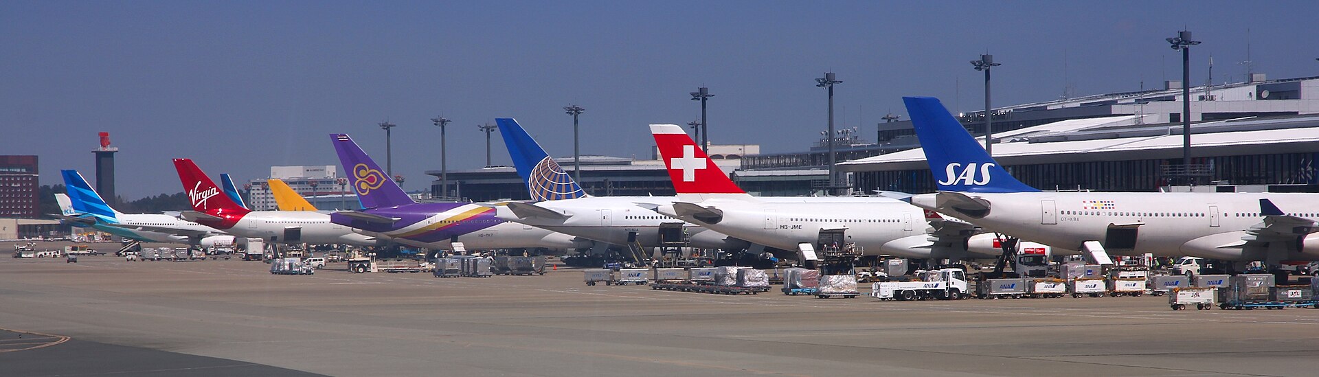
Narita, Chiba Prefecture, Japan
35° 46' 07" N, 140° 23' 19" E
Elevation: 141 ft (43 m)
Time zone: JST UTC+9
Daniel K. Inouye International Airport
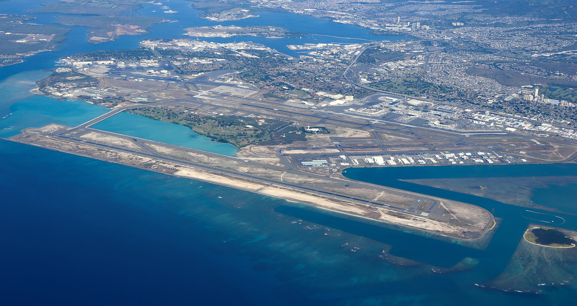
Honolulu, Oahu, Hawaii, United States
21° 19' 06" N, 157° 55' 32" W
Elevation: 13 ft (4 m)
Time zone: HST UTC−10
What's the weather like in Narita and Honolulu, Oahu?
Temperature unit:
NRT · Narita
50°FMainly clearFeels like 47°F
- Humidity
- 66%
- Wind
- 2 mph
- Precipitation
- 0 mm
HNL · Honolulu, Oahu
73°FModerate rain showersFeels like 80°F
- Humidity
- 98%
- Wind
- 3 mph
- Precipitation
- 1.1 mm
Wed, Oct 2875°F | 72°FThunderstorm
Thu, Oct 2978°F | 73°FLight drizzle
Fri, Oct 3080°F | 73°FOvercast
Sat, Oct 3181°F | 71°FModerate drizzle
Sun, Nov 179°F | 70°FLight drizzle
Popular airlines from Narita to Honolulu, Oahu
Popular airports near Narita
- Ibaraki Airport (IBR)Omitama·JP· 39 min· 29 mi (46 km)
- Tokyo Haneda International Airport (HND)Tokyo·JP· 51 min· 37 mi (60 km)
- Oshima Airport (OIM)Izu Oshima·JP· 2 hr 2 min· 90 mi (144 km)
- Fukushima Airport (FKS)Sukagawa·JP· 2 hr 18 min· 101 mi (162 km)
- Miyakejima Airport (MYE)Miyakejima·JP· 2 hr 52 min· 126 mi (203 km)
Popular airports near Honolulu, Oahu
- Molokai Airport (MKK)Kaunakakai·US· 1 hr 15 min· 55 mi (88 km)
- Kalaupapa Airport (LUP)Kalaupapa·US· 1 hr 24 min· 62 mi (99 km)
- Lanai Airport (LNY)Lanai City·US· 1 hr 39 min· 73 mi (117 km)
- Kapalua Airport (JHM)Lahaina·US· 1 hr 55 min· 84 mi (136 km)
- Kahului International Airport (OGG)Kahului·US· 2 hr 17 min· 101 mi (162 km)
Popular hotels in HNL
Loading hotel data…
Explore Other Popular Destinations from Narita
No data
Explore Other Popular Origins to Honolulu, Oahu
No data
Everything you need to know for your flight from Narita to Honolulu, Oahu
No data