
Data updated: 2026-10-28 13:18:04
Mexico City (NLU) to Monterrey (MTY) Flights
Compare flights from Mexico City to Monterrey, explore popular airlines, airports, and travel tips.
Get the latest collected flight schedules, prices, and route information all in one place.
Get the latest collected flight schedules, prices, and route information all in one place.
NLU········· ·········MTY
Felipe Ángeles International AirportMonterrey International Airport
- Distance
- 420 miles
- Flight time
- 1h 32m
- Time difference
- MTY is 0h ahead
Flights from Mexico City to Monterrey
All times are shown in local time. Prices are for one-way, per adult, including taxes and fees.
Transfers
Airlines
Airline allianceAirlines
Departure / arrival
Departure time (local time)Arrival time (local time)
Airport
Departure airports
Arrival airportsFlight route map
Route information
- Distance
- 420 miles
- Average flight time
- 1h 32m
- Time difference
- MTY is 0h ahead
- Route direction
- The initial bearing on the course from Mexico City to Monterrey is 350.73°, and the compass direction is N.
Airport information
Felipe Ángeles International Airport
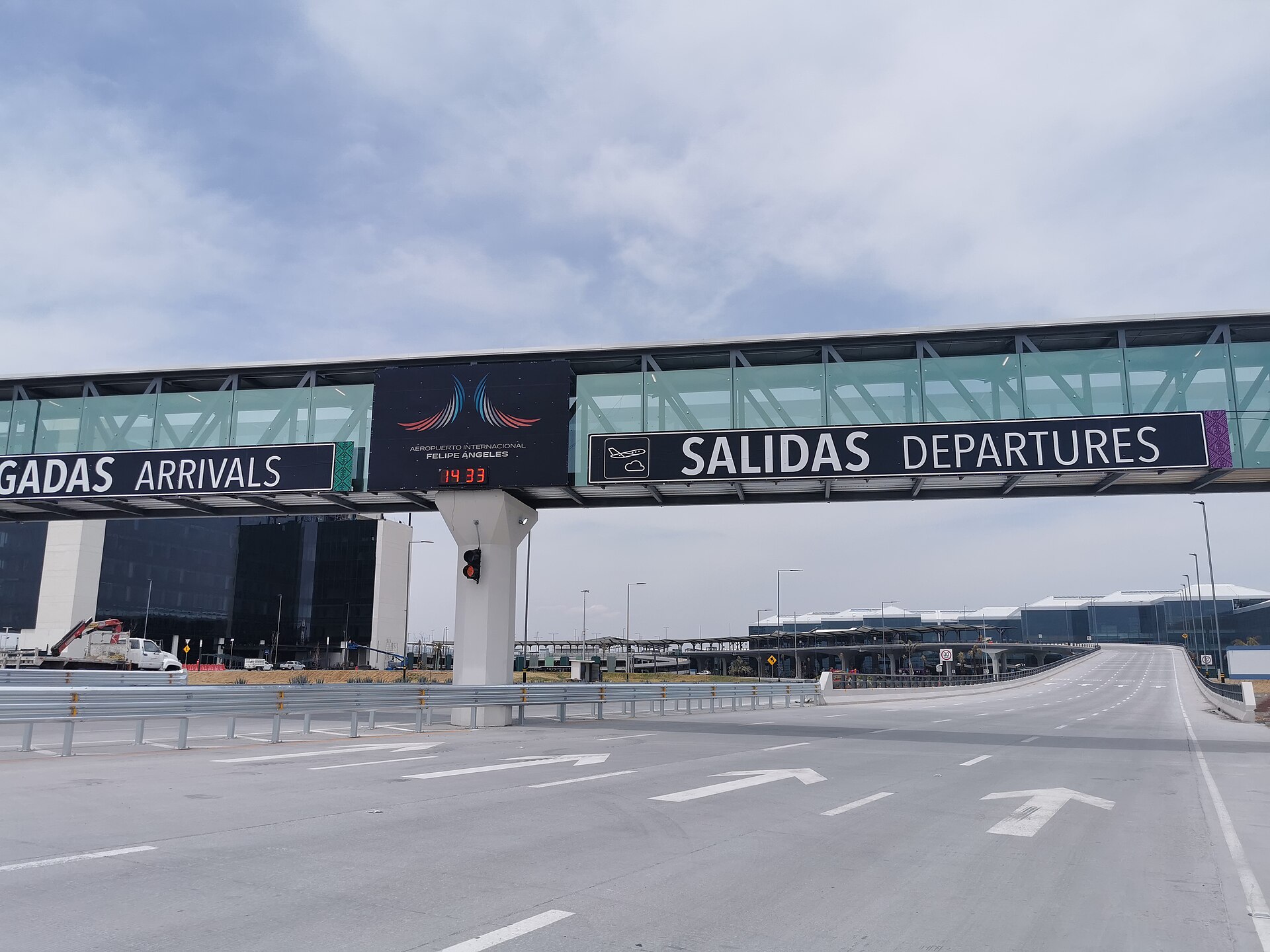
Mexico City, México (state), Mexico
19° 44' 38" N, 99° 00' 54" W
Elevation: 7,369 ft (2,246 m)
Time zone: CST UTC−6
Monterrey International Airport

Monterrey, Nuevo León, Mexico
25° 46' 43" N, 100° 06' 25" W
Elevation: 1,278 ft (390 m)
Time zone: CST UTC−6
What's the weather like in Mexico City and Monterrey?
Temperature unit:
NLU · Mexico City
65°FPartly cloudyFeels like 66°F
- Humidity
- 53%
- Wind
- 0 mph
- Precipitation
- 0 mm
MTY · Monterrey
74°FOvercastFeels like 78°F
- Humidity
- 81%
- Wind
- 7 mph
- Precipitation
- 0 mm
Wed, Oct 2880°F | 66°FOvercast
Thu, Oct 2980°F | 69°FOvercast
Fri, Oct 3080°F | 69°FLight drizzle
Sat, Oct 3185°F | 72°FLight drizzle
Sun, Nov 186°F | 70°FOvercast
Popular airlines from Mexico City to Monterrey
Popular airports near Mexico City
- Mexico City Benito Juárez International Airport (MEX)Mexico City·MX· 29 min· 22 mi (35 km)
- Adolfo López Mateos International Airport (TLC)Toluca·MX· 1 hr 2 min· 46 mi (73 km)
- Hermanos Serdán International Airport (PBC)Puebla·MX· 1 hr 20 min· 58 mi (94 km)
- General Mariano Matamoros International Airport (CVJ)Temixco·MX· 1 hr 29 min· 65 mi (104 km)
- Querétaro Intercontinental Airport (QRO)Querétaro·MX· 2 hr 13 min· 97 mi (156 km)
Popular airports near Monterrey
- Del Norte International Airport (NTR)Monterrey·MX· 14 min· 10 mi (16 km)
- Plan de Guadalupe International Airport (SLW)Saltillo·MX· 1 hr 13 min· 54 mi (87 km)
- Monclova International Airport (LOV)Monclova·MX· 2 hr 40 min· 117 mi (189 km)
- General Lucio Blanco International Airport (REX)Reynosa·MX· 2 hr 41 min· 118 mi (190 km)
- McAllen Miller International Airport (MFE)McAllen·US· 2 hr 43 min· 119 mi (192 km)
Popular hotels in MTY
Loading hotel data…
Explore Other Popular Destinations from Mexico City
Explore Other Popular Origins to Monterrey
Everything you need to know for your flight from Mexico City to Monterrey
No data