
Data updated: 2026-10-28 13:22:02
San Salvador (SAL) to Los Angeles (LAX) Flights
Compare flights from San Salvador to Los Angeles, explore popular airlines, airports, and travel tips.
Get the latest collected flight schedules, prices, and route information all in one place.
Get the latest collected flight schedules, prices, and route information all in one place.
SAL········· ·········LAX
El Salvador International Airport Saint Óscar Arnulfo Romero y GaldámezLos Angeles International Airport
- Distance
- 2,319 miles
- Flight time
- 5h 25m
- Time difference
- LAX is 1h behind
Flights from San Salvador to Los Angeles
All times are shown in local time. Prices are for one-way, per adult, including taxes and fees.
Transfers
Airlines
Airline allianceAirlines
Departure / arrival
Departure time (local time)Arrival time (local time)
Airport
Departure airports
Arrival airportsFlight route map
Route information
- Distance
- 2,319 miles
- Average flight time
- 5h 25m
- Time difference
- LAX is 1h behind
- Route direction
- The initial bearing on the course from San Salvador to Los Angeles is 312.68°, and the compass direction is NW.
Airport information
El Salvador International Airport Saint Óscar Arnulfo Romero y Galdámez
San Salvador, La Paz Department, El Salvador
13° 26' 40" N, 89° 03' 21" W
Elevation: 101 ft (31 m)
Time zone: CST UTC−6
Los Angeles International Airport
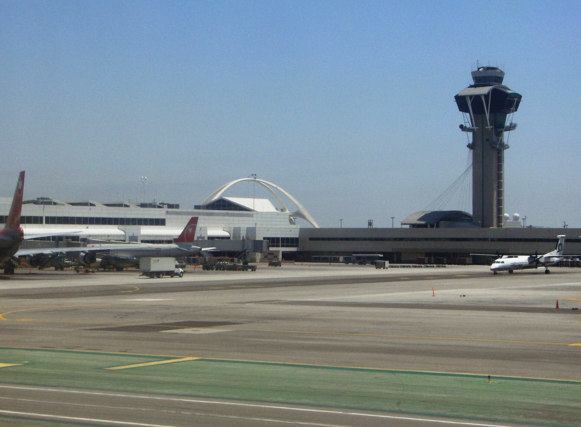
Los Angeles, California, United States
33° 56' 33" N, 118° 24' 29" W
Elevation: 125 ft (38 m)
Time zone: PDT UTC−7
What's the weather like in San Salvador and Los Angeles?
Temperature unit:
SAL · San Salvador
88°FSunnyFeels like 96°F
- Humidity
- 53%
- Wind
- 5 mph
- Precipitation
- 0 mm
LAX · Los Angeles
59°FOvercastFeels like 59°F
- Humidity
- 88%
- Wind
- 4 mph
- Precipitation
- 0 mm
Wed, Oct 2872°F | 58°FOvercast
Thu, Oct 2968°F | 62°FLight drizzle
Fri, Oct 3070°F | 66°FLight drizzle
Sat, Oct 3170°F | 66°FOvercast
Sun, Nov 168°F | 63°FModerate drizzle
Popular airlines from San Salvador to Los Angeles
Popular airports near San Salvador
- Ilopango International Airport (ILS)San Salvador·SV· 25 min· 18 mi (29 km)
- Palmerola International Airport (XPL)Palmerola·HN· 2 hr 38 min· 116 mi (187 km)
- La Aurora International Airport (GUA)Guatemala City·GT· 2 hr 52 min· 126 mi (203 km)
- Toncontín Airport (TGU)Tegucigalpa·HN· 2 hr 58 min· 131 mi (210 km)
- Ramón Villeda Morales International Airport (SAP)San Pedro Sula·HN· 3 hr 36 min· 158 mi (254 km)
Popular airports near Los Angeles
- Jack Northrop Field Hawthorne Municipal Airport (HHR)Hawthorne·US· 6 min· 4 mi (7 km)
- Long Beach International Airport (LGB)Long Beach·US· 23 min· 17 mi (28 km)
- Hollywood Burbank/Bob Hope Airport (BUR)Burbank·US· 25 min· 18 mi (29 km)
- John Wayne Orange County International Airport (SNA)Santa Ana·US· 49 min· 36 mi (58 km)
- Ontario International Airport (ONT)Ontario·US· 1 hr 4 min· 47 mi (75 km)
Popular hotels in LAX
Loading hotel data…
Explore Other Popular Destinations from San Salvador
No data
Explore Other Popular Origins to Los Angeles
No data
Everything you need to know for your flight from San Salvador to Los Angeles
No data