
Data updated: 2026-10-28 13:22:03
San Salvador (SAL) to Lima (LIM) Flights
Compare flights from San Salvador to Lima, explore popular airlines, airports, and travel tips.
Get the latest collected flight schedules, prices, and route information all in one place.
Get the latest collected flight schedules, prices, and route information all in one place.
SAL········· ·········LIM
El Salvador International Airport Saint Óscar Arnulfo Romero y GaldámezJorge Chávez International Airport
- Distance
- 1,932 miles
- Flight time
- 4h 15m
- Time difference
- LIM is 1h ahead
Flights from San Salvador to Lima
All times are shown in local time. Prices are for one-way, per adult, including taxes and fees.
Transfers
Airlines
Airline allianceAirlines
Departure / arrival
Departure time (local time)Arrival time (local time)
Airport
Departure airports
Arrival airportsFlight route map
Route information
- Distance
- 1,932 miles
- Average flight time
- 4h 15m
- Time difference
- LIM is 1h ahead
- Route direction
- The initial bearing on the course from San Salvador to Lima is 154.54°, and the compass direction is SSE.
Airport information
El Salvador International Airport Saint Óscar Arnulfo Romero y Galdámez
San Salvador, La Paz Department, El Salvador
13° 26' 40" N, 89° 03' 21" W
Elevation: 101 ft (31 m)
Time zone: CST UTC−6
Jorge Chávez International Airport
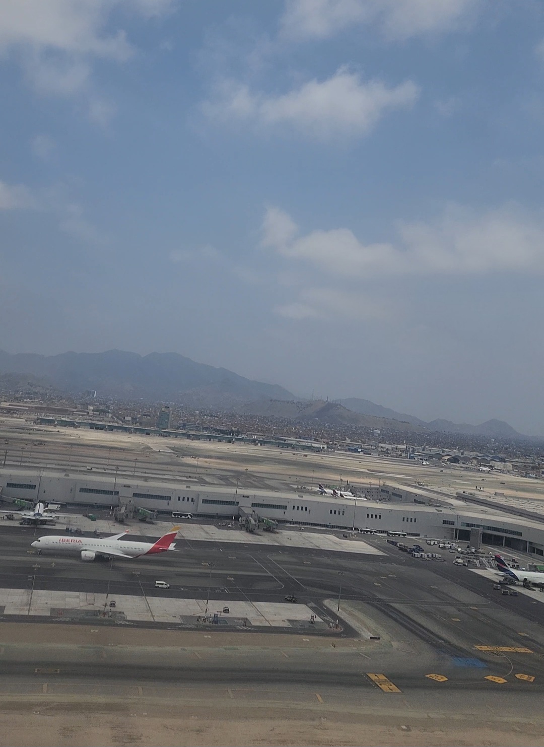
Lima, Lima Region, Peru
12° 01' 19" S, 77° 06' 51" W
Elevation: 113 ft (34 m)
Time zone: PET UTC−5
What's the weather like in San Salvador and Lima?
Temperature unit:
SAL · San Salvador
88°FSunnyFeels like 96°F
- Humidity
- 53%
- Wind
- 5 mph
- Precipitation
- 0 mm
LIM · Lima
82°FMainly clearFeels like 89°F
- Humidity
- 65%
- Wind
- 9 mph
- Precipitation
- 0 mm
Wed, Oct 2882°F | 72°FModerate drizzle
Thu, Oct 2982°F | 71°FOvercast
Fri, Oct 3083°F | 73°FOvercast
Sat, Oct 3183°F | 73°FOvercast
Sun, Nov 183°F | 73°FOvercast
Popular airlines from San Salvador to Lima
Popular airports near San Salvador
- Ilopango International Airport (ILS)San Salvador·SV· 25 min· 18 mi (29 km)
- Palmerola International Airport (XPL)Palmerola·HN· 2 hr 38 min· 116 mi (187 km)
- La Aurora International Airport (GUA)Guatemala City·GT· 2 hr 52 min· 126 mi (203 km)
- Toncontín Airport (TGU)Tegucigalpa·HN· 2 hr 58 min· 131 mi (210 km)
- Ramón Villeda Morales International Airport (SAP)San Pedro Sula·HN· 3 hr 36 min· 158 mi (254 km)
Popular airports near Lima
- Francisco Carle Airport (JAU)Jauja·PE· 2 hr 33 min· 112 mi (181 km)
- Captain Renán Elías Olivera International Airport (PIO)Pisco·PE· 3 hr 2 min· 133 mi (215 km)
- Alferez Fap David Figueroa Fernandini Airport (HUU)Huánuco·PE· 3 hr 39 min· 160 mi (258 km)
- Air Force Colonel Alfredo Mendivil Duarte Airport (AYP)Ayacucho·PE· 4 hr 48 min· 211 mi (340 km)
- FAP Lieutenant Jaime Andres de Montreuil Morales Airport (CHM)Chimbote·PE· 5 hr 1 min· 220 mi (355 km)
Popular hotels in LIM
Loading hotel data…
Explore Other Popular Destinations from San Salvador
Explore Other Popular Origins to Lima
No data
Everything you need to know for your flight from San Salvador to Lima
No data